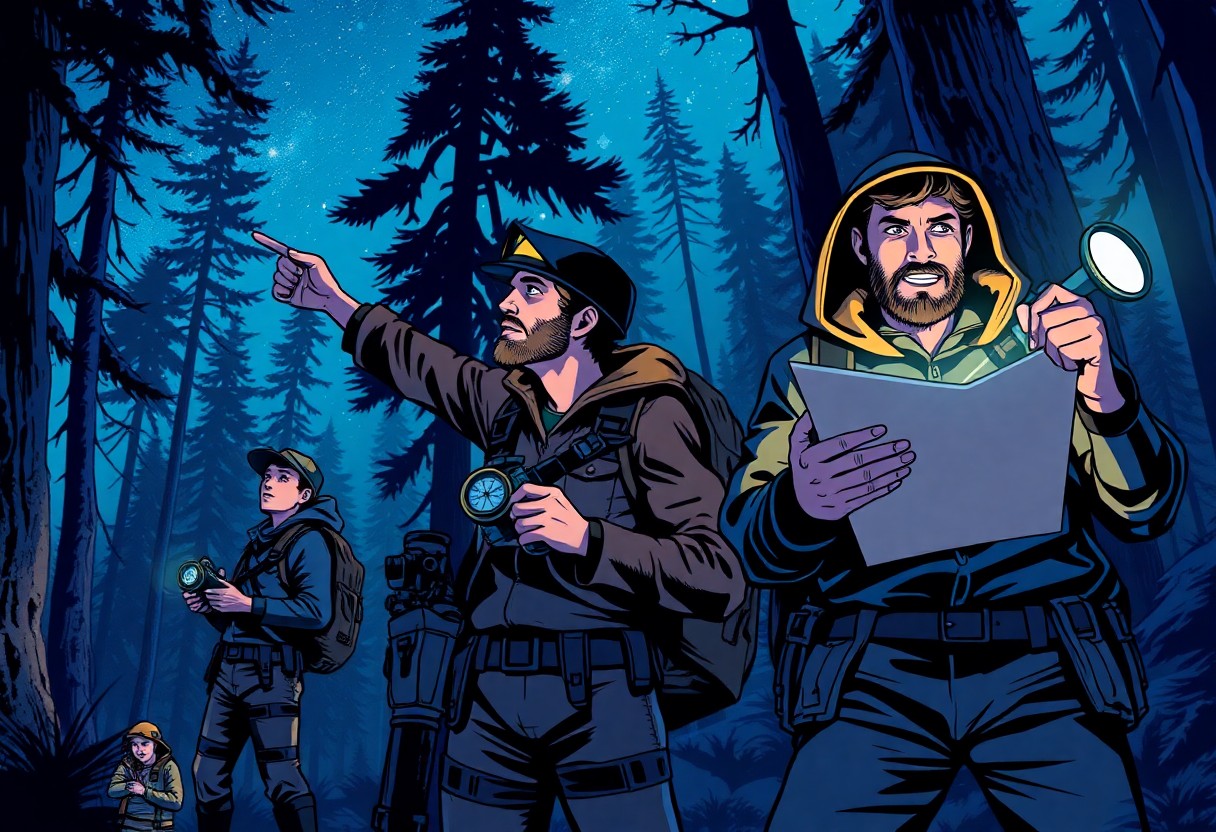
Just as the stars guide you through the night sky, topographic maps can lead you through Alabama’s diverse terrain during your nocturnal adventures. Understanding how to read and utilize these maps effectively can elevate your orienteering skills, enhancing both your navigation and your overall experience. In this guide, you will learn how to interpret elevation changes, trails, and landmarks using topographic maps, ensuring you feel confident exploring Alabama’s wilderness after sunset.
Understanding Topographic Maps
To effectively navigate at night in Alabama, it’s necessary to grasp the basics of topographic maps. These maps are designed to represent the three-dimensional terrain of an area on a two-dimensional surface, assisting you in visualizing landscapes, elevations, and distances. By understanding how to interpret these maps, you’ll be better equipped for your night orienteering adventures.
Key Features of Topographic Maps
Even experienced navigators can benefit from a refresher on the key features that define topographic maps:
- Contour lines: Indicate elevation changes and terrain shape.
- Index contour lines: Thicker lines that are labeled with elevation numbers.
- Symbols: Represent man-made features like roads and trails.
- Scale: Helps you measure distances accurately.
- Elevation numbers: Provide specific altitudes for reference points.
Perceiving these features allows you to interpret the landscape more effectively during your orienteering activities.
Reading Contour Lines and Symbols
Topographic maps utilize contour lines to reveal the elevation and shape of the land. Each contour line connects points of equal elevation, allowing you to visualize steepness and terrain features such as hills, valleys, and plateaus. When contour lines are close together, the slope is steep, whereas wider spaced lines indicate gentle slopes. In addition to contours, symbols on these maps give you vital information about roads, trails, and vegetation. Familiarizing yourself with these elements enhances your ability to read and navigate the terrain effectively.
Topographic maps play a significant role in night orienteering, as understanding contours and symbols prepares you for various terrain challenges. By mastering these skills, you ensure a successful navigation experience, regardless of the time of day.
Essential Tips for Night Orienteering
Some key tips can enhance your night orienteering experience in Alabama. Be sure to:
- Familiarize yourself with the map before nightfall.
- Use a reliable flashlight or headlamp, and carry extra batteries.
- Maintain a steady pace to avoid disorientation.
- Practice using your compass along with the map.
- Stay aware of your surroundings and trust your instincts.
Thou will find that preparation is key to success.
Navigation Techniques
To navigate effectively at night, always use your compass in conjunction with your topographic map. Establish a baseline direction and check it frequently to adjust for any drift. Make landmarks visible in your field of vision more prominent in your mind, as they may appear differently at night. By keeping a mental note of significant terrain features, you can enhance your understanding of the landscape.
Gear and Equipment Recommendations
Any successful night orienteer should carry imperative gear to navigate effectively. A high-quality headlamp or flashlight is paramount, along with a sturdy compass and a water-resistant topographic map. Additionally, a pair of durable hiking shoes will provide good grip on unpredictable terrain.
Orienteering at night demands not only the right skills but also the appropriate gear. Your gear should include a map case to protect your topographic maps from the elements, as well as a whistle for emergency situations. Opt for lightweight and functional clothing that allows for ease of movement. Don’t overlook having a portable power source for your electronic devices, and ensure you have planned your route thoroughly before you venture out. Your preparation will help guarantee a successful night navigation experience.
Factors to Consider for Night Navigation
While navigating at night, you must account for various factors that can affect your journey. These include:
- Visibility of landmarks
- Weather conditions
- Your gear and equipment
- Wildlife and environmental hazards
- Terrain challenges
After assessing these factors, you can better prepare for your night orienteering adventure in Alabama.
Environmental Influences
If you’re planning your night navigation, consider the environmental conditions that may impact visibility and safety. Elements such as fog, rain, or strong winds can obscure your view and make it difficult to navigate even familiar terrain. Additionally, the presence of wildlife may also pose unexpected risks, especially in remote areas. Understanding these influences can help you adjust your strategies for a successful orienteering experience.
Planning Your Route
While planning your route, take the time to create a detailed strategy that accounts for your destination and the terrain you’ll traverse at night. Consider using a combination of your topographic map and compass to plot a course that avoids hazardous areas and maximizes safety. Familiarize yourself with key landmarks that will aid in navigation under the cover of darkness. It’s also beneficial to scout your grounds during daylight hours, allowing you to gain a deeper understanding of the landscape.
Environmental factors play a significant role in your route planning. You should identify potential obstacles such as steep inclines, water bodies, and dense foliage that could complicate navigation at night. It’s wise to establish a flexible plan that accommodates possible changes in weather or unforeseen circumstances. By taking these aspects into account, you can enhance your ability to navigate effectively and confidently through Alabama’s natural landscape.
Safety Precautions
For successful night orienteering in Alabama, prioritizing safety is vital. Ensure you have the right gear including a reliable flashlight, extra batteries, and warm clothing. Familiarize yourself with your topographic maps and the area you plan to explore before setting out. Always let someone know your route and estimated return time to prevent mishaps. A first-aid kit can also be invaluable in case of unforeseen incidents.
Emergency Preparedness
You should carry a plan for emergencies, including a whistle, a map, and a transceiver. A charged mobile phone can be helpful, but it should not be your only means of navigation. Learn basic first aid and have vital supplies in your backpack. Develop an understanding of local emergency numbers so you can access assistance if necessary. Also, consider having a designated meeting point in case your group gets separated.
Staying Aware in the Dark
Even in darkness, maintaining awareness of your surroundings is vital during night orienteering. Use all available senses to guide you, not just vision. Listen for changes in the environment, and be attentive to sounds that may indicate nearby bodies of water or animal activity. Rely on your topographic map to plot your course, ensuring you’re oriented correctly to avoid potential hazards.
Understanding your surroundings in the dark involves actively engaging with the environment rather than simply relying on equipment. Taking a moment to listen for wildlife or flowing water can provide cues about your location. Use tactile markers such as trees or rocks to keep track of your route, and pay attention to the sensation of the ground beneath your feet. This heightened awareness will help you navigate safely through Alabama’s diverse terrains at night.
Practice Makes Perfect
Once again, mastering night orienteering involves consistent practice to build your confidence and skills. Regularly navigating with topographic maps under various conditions will enhance your ability to interpret terrain features in low light. By familiarizing yourself with both the maps and the landscape, you’ll develop a stronger intuition for direction and distance, improving your night navigation capabilities significantly.
Training Exercises
Some effective training exercises include map reading drills during daylight, where you engage in identifying landmarks and contour lines. As the sun sets, transition to practicing using your flashlight or headlamp for better visibility. Pair these activities with timed challenges to boost your decision-making speed and increase your comfort level in using your map in the dark.
Simulated Night Orienteering
Training for simulated night orienteering can enhance your navigational skills in genuine conditions. You can set up practice sessions in a nearby wooded area or park, allowing you to experience the unique challenges of darkness while relying on your topographic maps. This will help you gain proficiency, build muscle memory, and develop strategies to efficiently navigate when visibility is limited.
With each simulated night orienteering session, focus on specific skills such as pacing, distance estimation, and map interpretation. Create a course incorporating various map features and practice navigating from point to point using only your topographic map and compass. The more you engage in these exercises, the more you’ll enhance your ability to orient yourself and make quick decisions at night, ensuring an enjoyable and safe adventure in Alabama’s natural landscapes.
Resources and Tools
All successful night orienteering in Alabama requires reliable resources and tools. Familiarize yourself with necessary equipment such as a good-quality flashlight, a durable compass, and a detailed topographic map. Additionally, you may want to invest in items such as a portable first aid kit, a GPS device, and extra batteries to ensure you are fully prepared for any situation.
Recommended Apps and Resources
One of the most efficient ways to enhance your night orienteering experience is by utilizing various mapping apps. Apps like Gaia GPS, AllTrails, and ViewRanger provide offline maps that allow you to download terrain details and navigate easily. Additionally, check out online resources like the Alabama Geological Survey for in-depth maps of your chosen area, which can supplement your outdoor adventures.
Local Maps and Locations
On your journey through Alabama’s night landscapes, accessing local maps and identifying locations is pivotal for successful navigation. Whether you’re hiking through the Bankhead National Forest or exploring Cheaha Mountain State Park, acquiring specific topographic maps of these areas will greatly benefit your understanding of the terrain and improve your orienteering skills.
Another vital step is to visit local outdoor shops or ranger stations that often have updated topographical maps for regional areas. Engaging with local hiking communities or forums can also provide insights into newly available resources or specific trails less-known to the general public. These interactions can refine your planning and boost your confidence as you navigate Alabama’s beautiful landscapes at night.
Summing up
Ultimately, mastering the use of topographic maps for night orienteering in Alabama enhances your navigation skills in the dark wilderness. By familiarizing yourself with the symbols, contours, and features on the map, along with employing a reliable compass and practical night-vision techniques, you can confidently navigate through challenging terrain. Ensure you practice these skills during daylight hours before venturing out at night. With preparation and knowledge, you can make your nocturnal adventures safe and enjoyable while fully appreciating the beauty of Alabama’s landscapes.